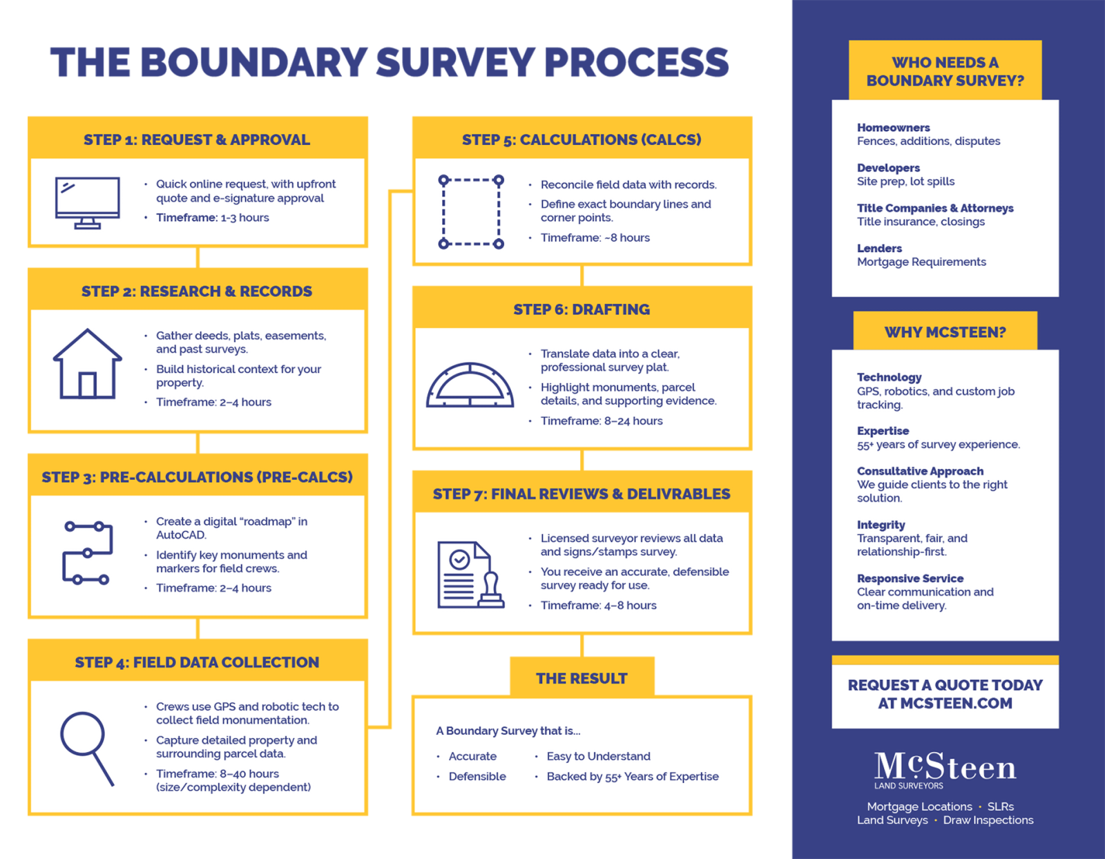
The Boundary Survey Process at McSteen
Step 1: Request & Approval
- Quick online request, with upfront quote and e-signature approval.
- Timeframe: 1–3 hours
Step 2: Research & Records
- Gather deeds, plats, easements, and past surveys.
- Build historical context for your property.
- Timeframe: 2–4 hours
Step 3: Pre-Calculations (Pre-Calcs)
- Create a digital “roadmap” in AutoCAD.
- Identify key monuments and markers for field crews.
- Timeframe: 2–4 hours
Step 4: Field Data Collection
- Crews use GPS and robotic tech to collect field monumentation.
- Capture detailed property and surrounding parcel data.
- Timeframe: 8–40 hours (size/complexity dependent)
Step 5: Calculations (Calcs)
- Reconcile field data with records.
- Define exact boundary lines and corner points.
- Timeframe: ~8 hours
Step 6: Drafting
- Translate data into a clear, professional survey plat.
- Highlight monuments, parcel details, and supporting evidence.
- Timeframe: 8–24 hours
Step 7: Final Review & Deliverables
- Licensed surveyor reviews all data and signs/stamps survey.
- You receive an accurate, defensible survey ready for use.
- Timeframe: 4–8 hours
The Result, a Boundary Survey that is
- Accurate
- Defensible
- Easy to Understand
- Backed by 55+ Years of Expertise
Why McSteen?
- Technology: GPS, robotics, and custom job tracking.
- Expertise: 55+ years of survey experience
- Consultative Approach: v
- Integrity: Transparent, fair, and relationship-first.
- Responsive Service: Clear communication and on-time delivery.
Who Needs a Boundary Survey?
- Homeowners (fences, additions, disputes)
- Developers (site prep, lot splits)
- Title Companies & Attorneys (title insurance, closings)
- Lenders (mortgage requirements)
Request a Quote Today at McSteen.com